Video & Photo Epic: Travelling the Wilds of Peru by Bike

Words: Mau De Avila
Photos: Haitman Rivas
Video: Gerardo Flores

A couple months ago the Trail Quest crew headed to Perú for an amazing MTB expedition, the plan was to camp for a week high in the heart of the Peruvian Andes, at the base of Mt. Ausangate, a 6,400-meter high peak. After getting acclimatized and warmed up for a couple days at the Sacred Valley, we started the road trip up the great Ausangate. With a fully loaded truck and an amazing crew, we drove for six hours straight with coca leaf tea keeping us warm and awake. When we finally got there, our minds were blown. They say a picture is worth a thousand words, so scroll down and check it out yourselves.


Flying to Cusco is an adventure itself. Sitting at 3,310 m (10,860 ft) It feels like landing on the face of a mountain. We were happy to meet the rest of the crew for the trip, it was great greeting our Peruvian friends after a long time of not seeing each other.


A quick stroll down the streets of ancient Cusco, surrounded by live culture and so much history was the perfect way to start this trip. After some shopping, we headed to Calca, a small town right in the town of the Sacred Valley, two hours away from Cusco.


The road trip to Calca was as beautiful as everything else on the trip. We stopped at an awesome viewpoint and popped some Coronas just in time for the sunset. It was definitely the cherry on the cake and the best way to wrap up an already amazing day.


The Sacred Valley is littered with hundreds of ancient Inca trails. We went for a warm-up ride on some of our favorite ones and once more got blown away by the amazing views and terrain.


A quick local breakfast got us started as we headed our way up to the Andes. One last photo of the crew while we were still clean and comfy.


The road up to the Andes is absolutely stunning. Raging rivers, infinite mountains, huge pastures and beautiful valleys prepared us for what was yet to come. It was amazing driving through small villages right at the end of the world. We were lost for words when we realized we were just about to camp for a week at a spot you could only dream of.


After setting up camp just in time before sunset (5:30 pm), we had one of the coldest nights in a while. It felt the coldest right at dawn as the temperature dipped to -15 C and we were eager to feel the sun rays heating our bodies again.


Once the sun came up we were able to move around and cook the first meal of the week. Note to self: bring more food next time and take on some cooking classes.


After a half-decent breakfast and feeling all warmed up with the beautiful sun, we took on our first day of riding. Starting at 4,500-meters (14,760 ft) was no easy feat and we felt the altitude hitting us hard, but the plan for the day was somehow getting up to 5,200-meters (17,060 ft). The landscape up there was absolutely incredible with hundreds of ancient trails and llama paths weaving over the huge mountains.


We didn't meet many locals, or anyone at all, during the trip but the few encounters we had were once in a lifetime experiences. Although communicating with them was kind of hard since the only language they speak is their native Quechua.


As we went up, we started to reach one of the Ausangate's huge glaciers. We chilled for a bit, mesmerized by one of the blue lagoons before continuing our journey upwards.


At moments it felt like the hike was never ending, as we summited hill after hill just to realize there was another one left to climb. After chewing A WHOLE LOT of coca leaves which are an Inca remedy for altitude sickness, we were able to finish our first day with 30 Km of riding/hiking on this sacred place, right in time before sunset and the temperature drop.


With day one in the books, we headed back up to conquer yet another peak with a summit of 5,100-meters (16,700 ft), but this time we did so with most of our camp on our backs and some beautiful horses that Florencio (our local friend) prepared for us.


It was a tough way up, especially with all the added weight and camera equipment which we all helped carry to the top, but the scenery and the whole vibe of that place made it all feel like a dream. The descent was genuinely mind-blowing as we made our way down to camp two.


A unique combination of high alpine flow and raw, tech trail got us ultra stoked. Suddenly we got to the point where we could see the beautiful valley where we were camping that night, surrounded by three different lagoons that are fed by the rivers running down the glaciers.


We couldn't help but stop for a minute before finishing our ride since the place that was upon us was absolutely heavenly. Riding down along that golden ridgeline with those green lagoons in the background definitely was something we won't ever forget.


The riding back to base camp was as diverse as it was fun. There's an ineffable feeling of freedom that you get when riding up there, surrounded by hundreds of llamas and huge peaks and glaciers that remind us how tiny we really are.


On our last day we decided to explore and look for some freeride lines. After finding what seemed like the perfect sand chute from the bottom we hiked our way to the top of it only to realize that it was definitely not rideable. Lucky for us the super steep grass line we hiked up was also perfect to ride back down.


After a whole week of riding and exploring, our friend Florencio prepared a really special gift for us: Pachamanca, an ancient Inca celebration which consists of killing a llama and cooking it inside a traditional oven that we made that same day. We can't think of a better way to end this expedition and felt enormously blessed and grateful to be part of Florencio's life, at least for a week.


Until the next adventure. Until the next Trail Quest.

Author Info:
Must Read This Week
Sign Up for the Pinkbike Newsletter - All the Biggest, Most Interesting Stories in your Inbox
PB Newsletter Signup
Follow our adventures for the next few days on instagram.
I am the poor guy carrying all the camera gear.
@blackbird_works
@elladee17
@joemurrayproject
@obsessionbikes
@dirtdropout
@chakinaniperu
This country is incredible...
I was wondering exactly the same thing...
Nah, having travelled all over peru and the altiplano its not the angle of the sun.
What doesn’t help is the altitude - skies come out very dark, and light is harsh. But there are ways to meter the camera around it, use a bit of exposure compensation, and the odd Neutral density graduated filter to stop the mountains blowing out. It looks like the photographer may have used a polarising filter which makes matters worse at high altitude.
Holytrails.pe
HakuExpeditions.com
I do have maps and scrawls of the area but many are dated as the glaciers have receded so quickly altering drainage. I haven't got around to scanning them unfortunately. It's the "Ocongate" basemap which isn't in the Univ Texas database
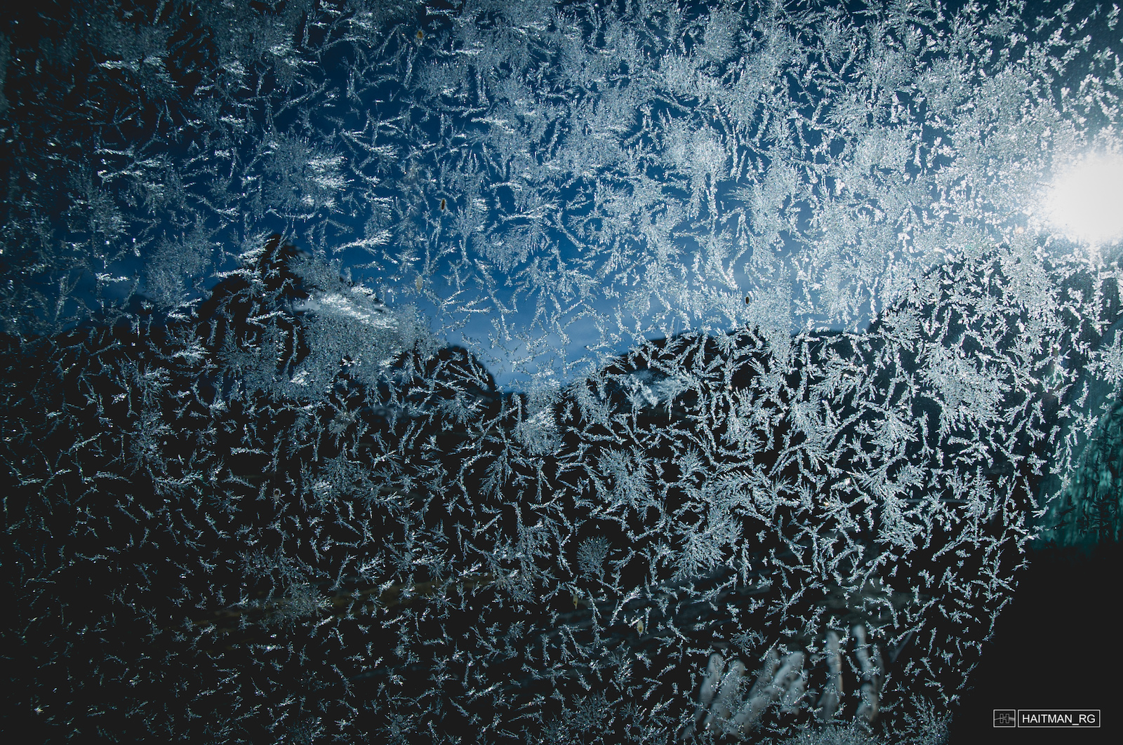
That frost on the bikes, wow!